Use this link to peruse London’s 2026 Electoral Ward Boundary Map on Google Maps:
bendurham.ca/2026map
Or use this button instead:
Table of Contents
Why? User Experience.
This Google Maps version of London’s 2026 Electoral Wards exists because back in 2022, during London’s Municipal Elections, I personally found it really difficult to find a Ward map that wasn’t just a screenshot of the city’s ArcGIS mapping web app. Screenshots found scattered across the interwebs were almost exclusively low-resolution so that when you zoomed in it was all pixelated.
High-res map downloads
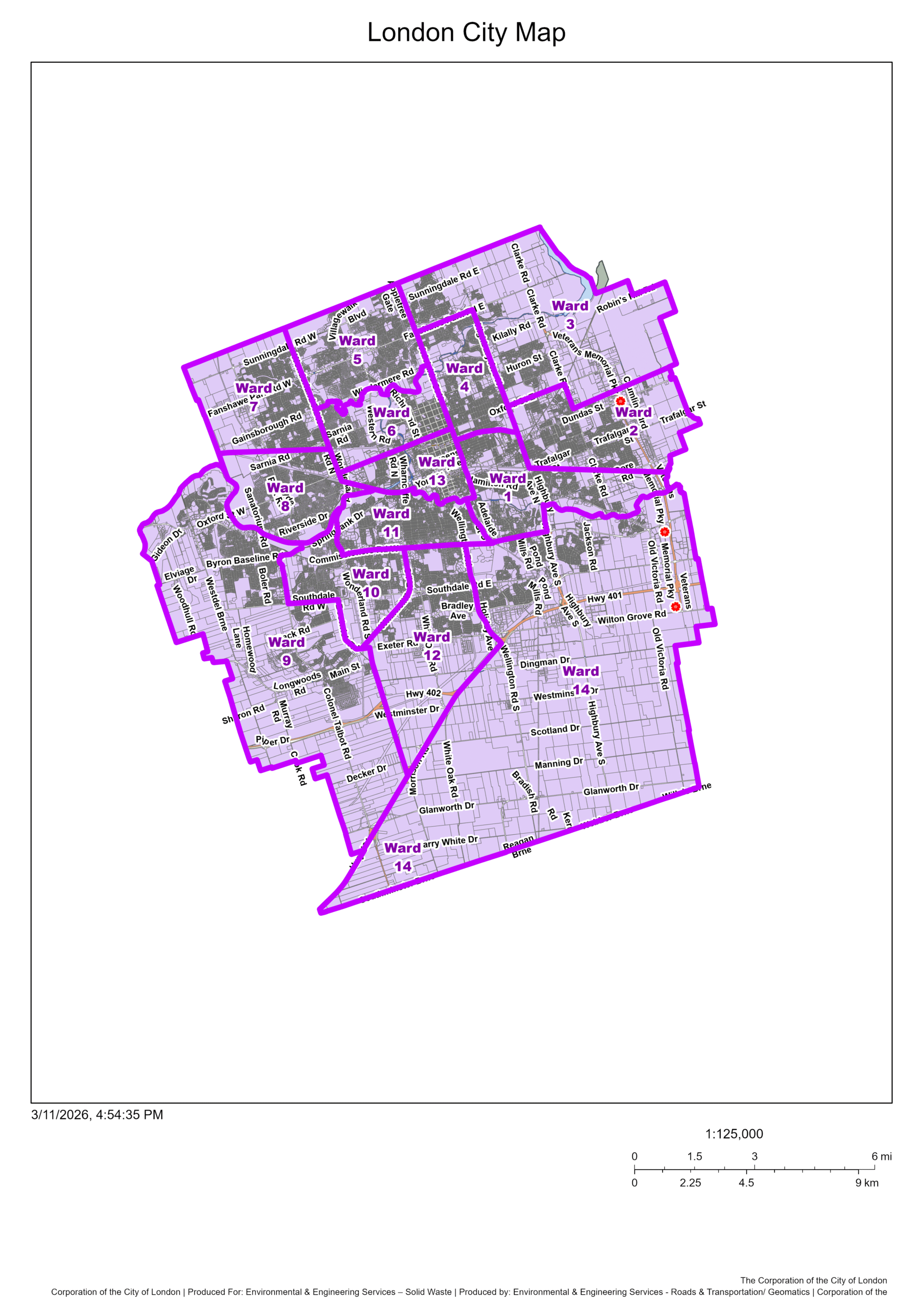
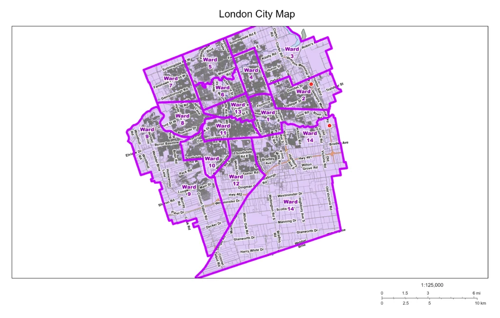
Now if all you’re looking for is a high-quality image file of the ward boundary map, this is still the place for it, because I exported those, too. You can find the PDF version here and the PNG image here.
City of London staff outreach
So, this time for 2026’s municipal elections, I sent an email to the City of London in late February, asking:
Hi there, I’m looking to create more varieties of accessible data for residents of London for this upcoming municipal election.
Can I get an export of a KML file (and if possible, a shapefile, too) of the 2026 Electoral Wards ArcGIS map from staff, please?
Thanks so much!
Ben Durham
And, as city staff do (because they’re all quite awesome human beings and are responsive to requests), they got back to me with:
Hi Ben,
Thanks for reaching out about our Electoral Ward 2026 data.
I am working with the appropriate teams to make this data available on our Open Data site by the end of next week.
I will reach out to let you know when the data has been published to our site. Please let me know if you need the data sooner.
Thanks,
Geospatial Infrastructure Systems Group (GISG)
Construction & Infrastructure Services
City of London
And a few business days later, I got another email, stating that:
The 2026 Electoral Ward data is now available on our Open Data site: 2026 Electoral Wards | City of London Open Data
Please reach out with any spatial data or map requests.
So, I thanked them, downloaded the KML file, which I knew would play well with Google My Maps. Then I went through the import process and relabeled the Wards, according to the data that is available on the City of London’s Maps webpage.
Done and done! Now you have a simple link to peruse London’s 2026 Electoral Ward Boundary Map: bendurham.ca/2026map
London’s mapping software problem
So why did I even bother to do this custom Google Map? Well, ArcGIS is a very detailed and helpful tool for mappers and has more than just the Electoral Maps within its webapp… but that’s the problem: there’s too much for most people’s needs and for most people’s hardware (ie. phones, computers).
Most people just want to click a link and have the map show up on whatever device they’re using (their phone, tablet, computer, etc). They don’t want to think – they want it to be as simple as “tap, done.”
For those of you who aren’t aware, this is called “Frictionless UX” or “Frictionless Design,” which is a UX (user experience) term that’s used to describe a design philosophy that focuses on the absolute minimization of friction, clicks, taps, etc. Minimal effort is key in this sort of design, so that’s where this all comes in. Because most people have Google Maps either on their phone or their web browsers load it quickly, without all the ArcGIS bloat (for its other functions).
Support & Vote for Ben Durham in Ward 3
If you’ve read this far, I’m glad I could help you understand things more!
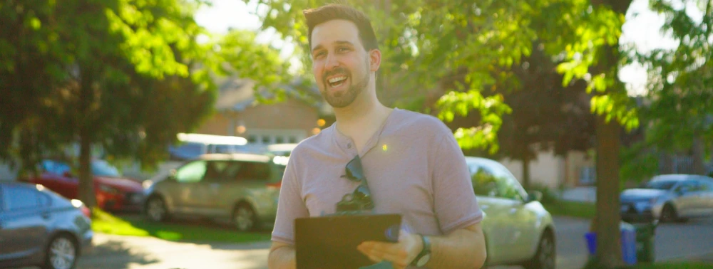
I’m Ben Durham and I’m running to be your next Ward 3 City Councillor. I live here in Ward 3 and have been advocating for our neighbours for years.
This is the kind of work I’ll bring to City Council: digging into the details, talking to residents, getting real answers for the concerns that affect your everyday life, and voting for a better London.
On October 26, I’m asking for your vote. You can also vote on one of the 8 other early voting dates in October!
Learn More About My Platform →