Ben Durham
home
blog
podcast
gear guide
Website archive
Search
All
Election Resources
Analysis
Transportation
Environment
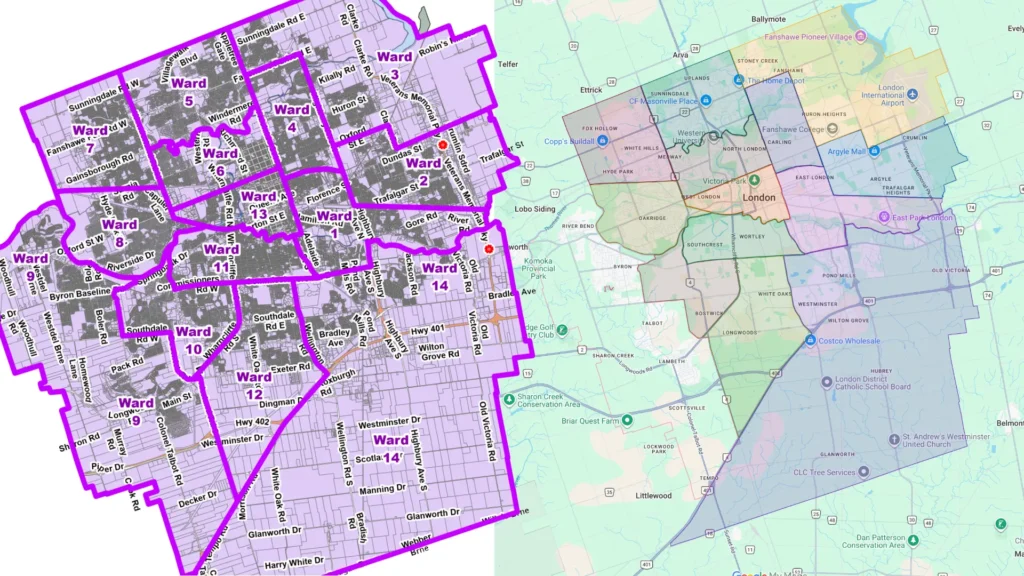
London’s 2026 Electoral Wards
Election Resources
2026-03-11
4 minutes